
Eisenhüttenstadt in Germany seeks new permanent residents by offering a two-week free stay in a furnished apartment as part of the 'Make Plans Now' immigration project. [...]
Eisenhüttenstadt in Germany seeks new permanent residents by offering a two-week free stay in a furnished apartment as part of the 'Make Plans Now' immigration project. [...]

Brian Rodríguez of Club América contemplates joining Inter Miami CF to play alongside Messi and Suárez, with interest from Spain as well.

Maxime Hughes, the Welsh interpreter for Wrexham owners Ryan Reynolds and Rob McElhenney, to be honored for services to Welsh journalism at the 2025 Gorsedd Honours.
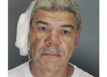
Mohamed Sabry Soliman, the 45-year-old suspect behind the molotov cocktail attack in Boulder, was found to have overstayed his visa, injuring 8 people during a protest march.

Following PSG's UEFA Champions League win, questions arise about the future direction under Qatari owners. Will they stay, double down, or exit after achieving their mission in club football?